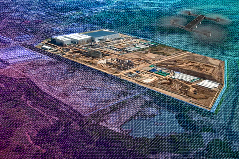
MapMySignal creates high-quality digital 2D and 3D maps designed specifically for Telecom RF Planning. Our mapping solutions support key network activities such as Coverage Analysis, Capacity Planning, Spectrum Management, and Network Optimization.
Tower C Level 6 Bhutani Alphathum Sector 90 Noida, Uttar Pradesh 201305
We specialize in processing LiDAR and drone-captured data for high-resolution mapping and terrain modeling. These datasets enhance network design accuracy and infrastructure planning.